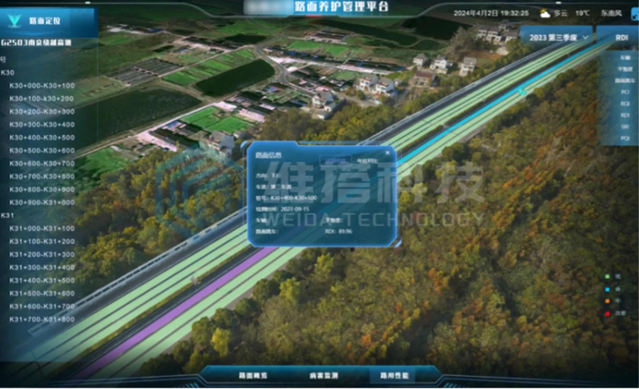
Keep operating status visible
The smart pavement platform uses a domestic 3D graphics engine to process terrain data and manage road sections spatially.
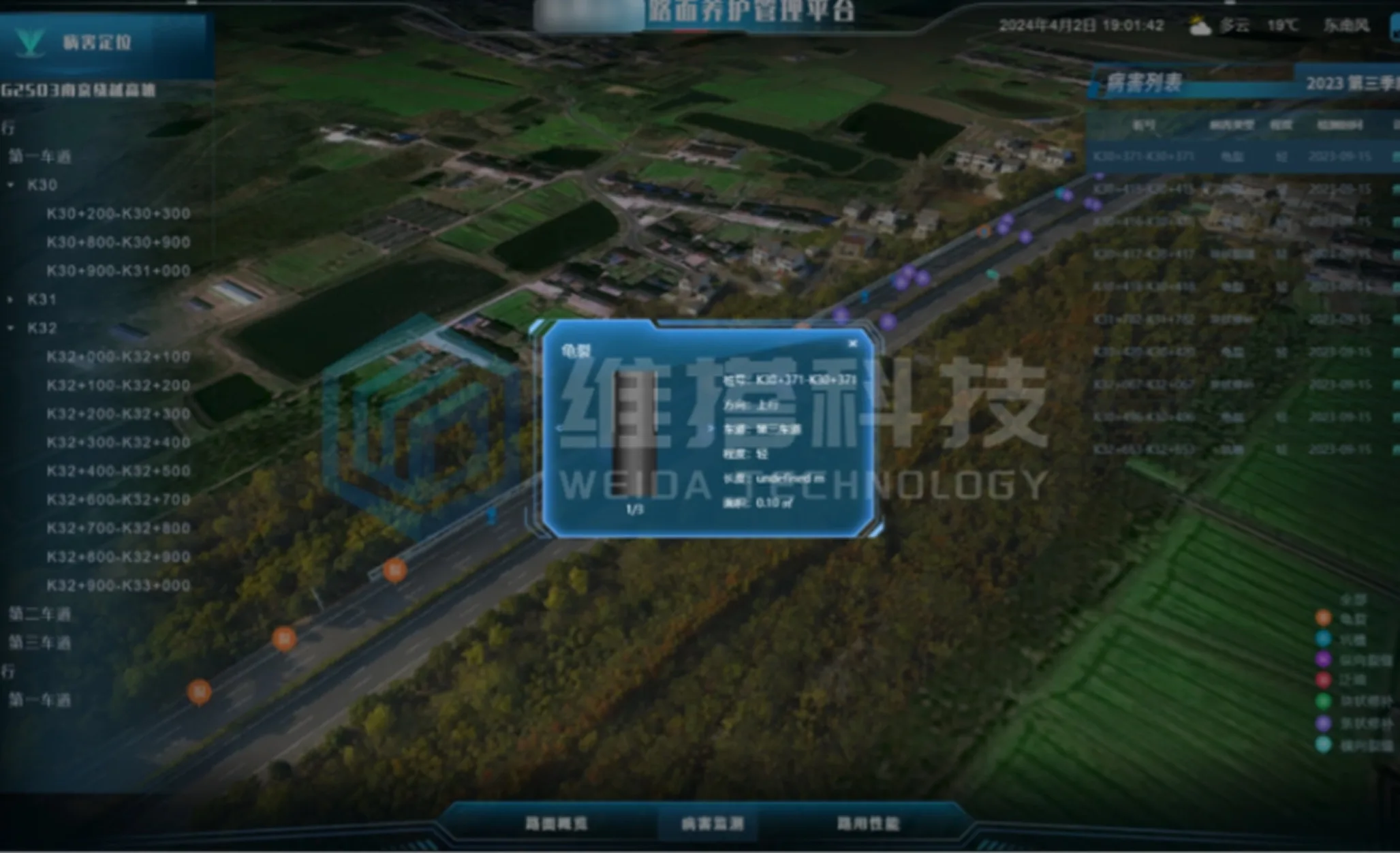
The smart pavement platform uses a domestic 3D graphics engine to process terrain data and manage road sections spatially. Sensing and analytical data describe pavement damage and defects, while the 3D context locates roads and structures for condition review, alerts and maintenance management.
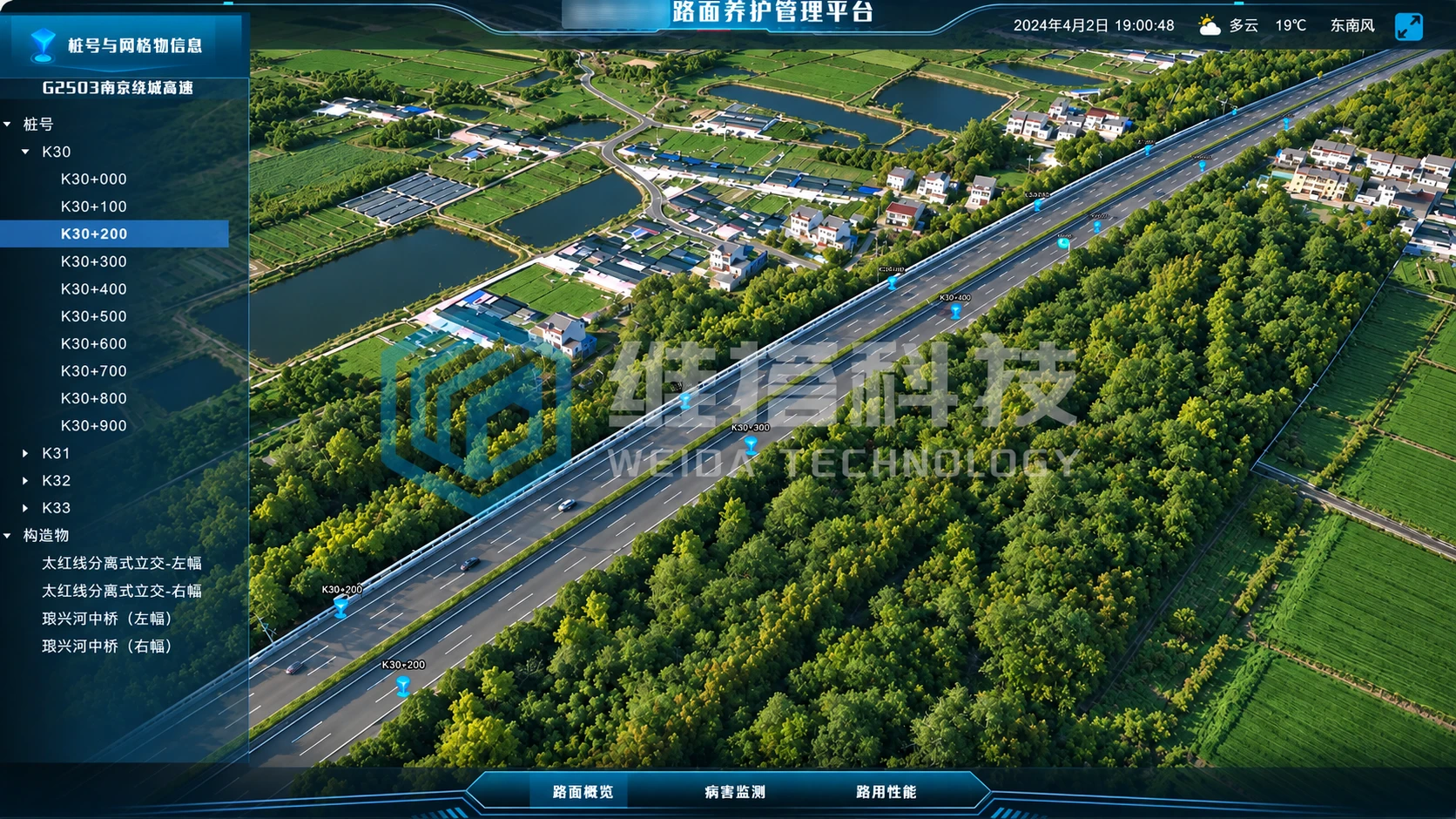
The smart pavement platform uses a domestic 3D graphics engine to process terrain data and manage road sections spatially.
Sensing and analytical data describe pavement damage and defects, while the 3D context locates roads and structures for condition review, alerts and maintenance management.